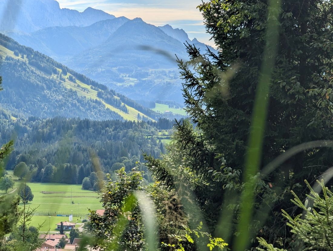
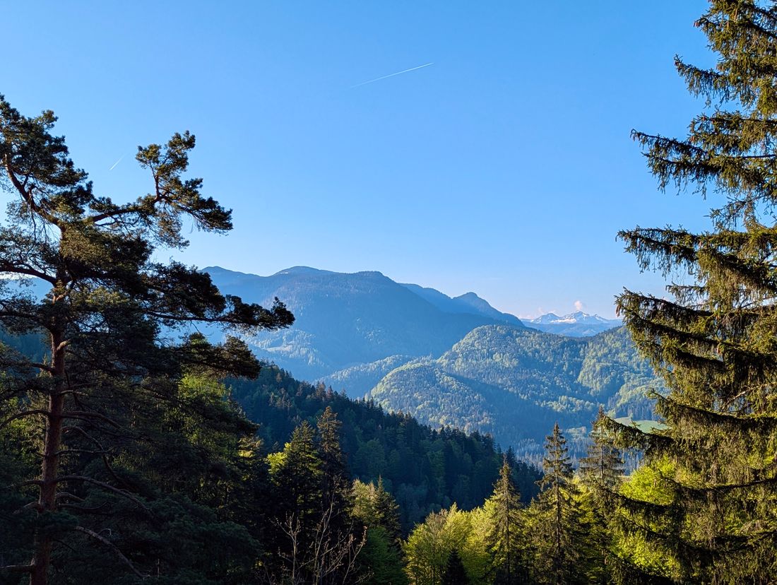
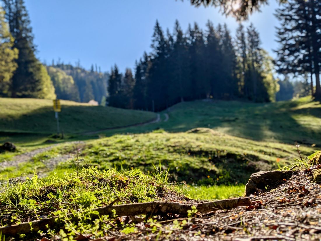
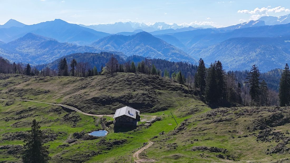
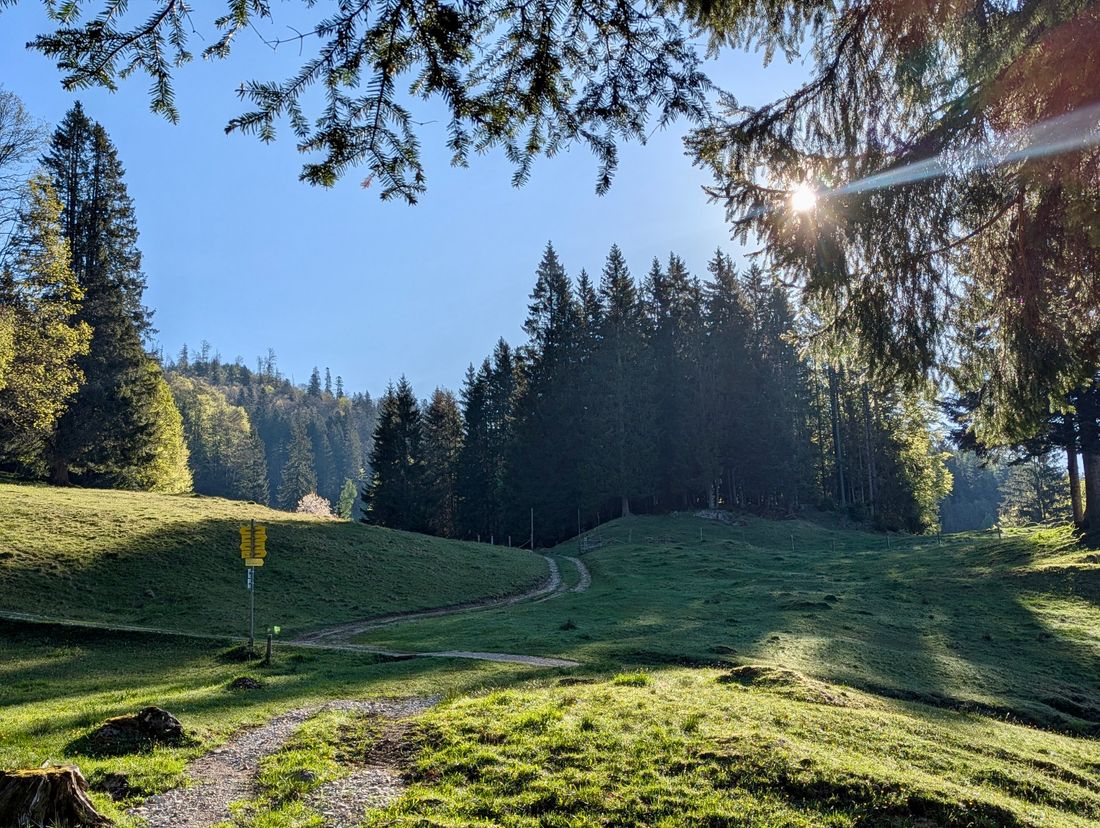
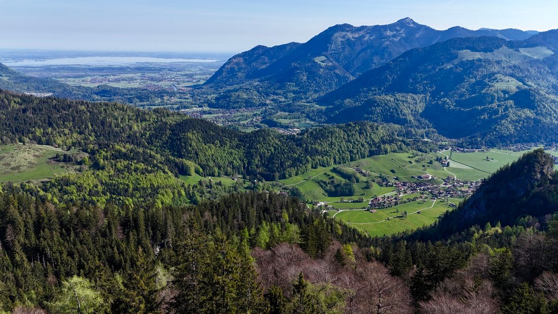
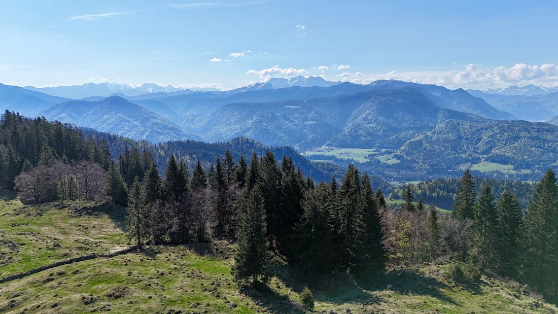
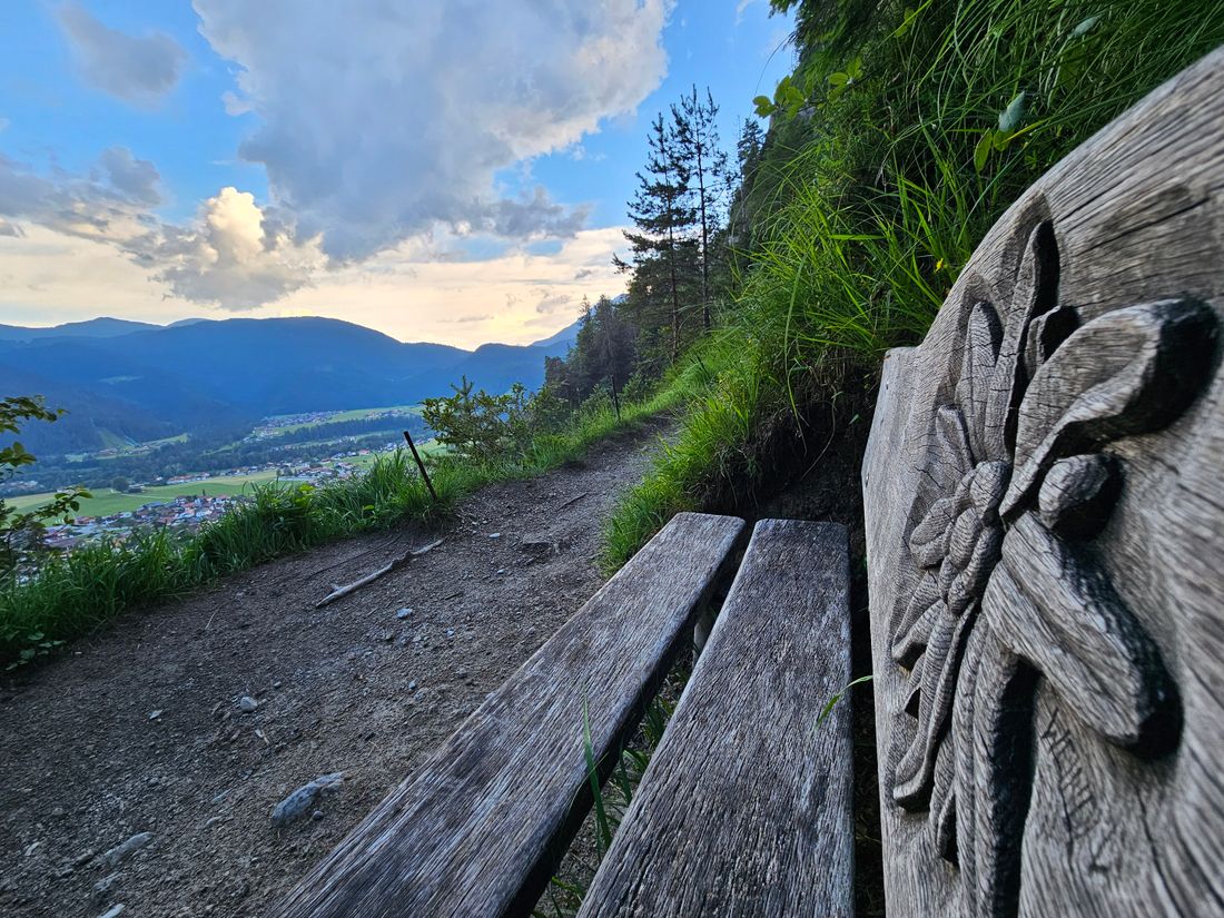
Extensive day hike on alpine trails with an incomparable view of Reit im Winkl, the surrounding mountains and down to Lake Chiemsee - the "Bavarian Sea".
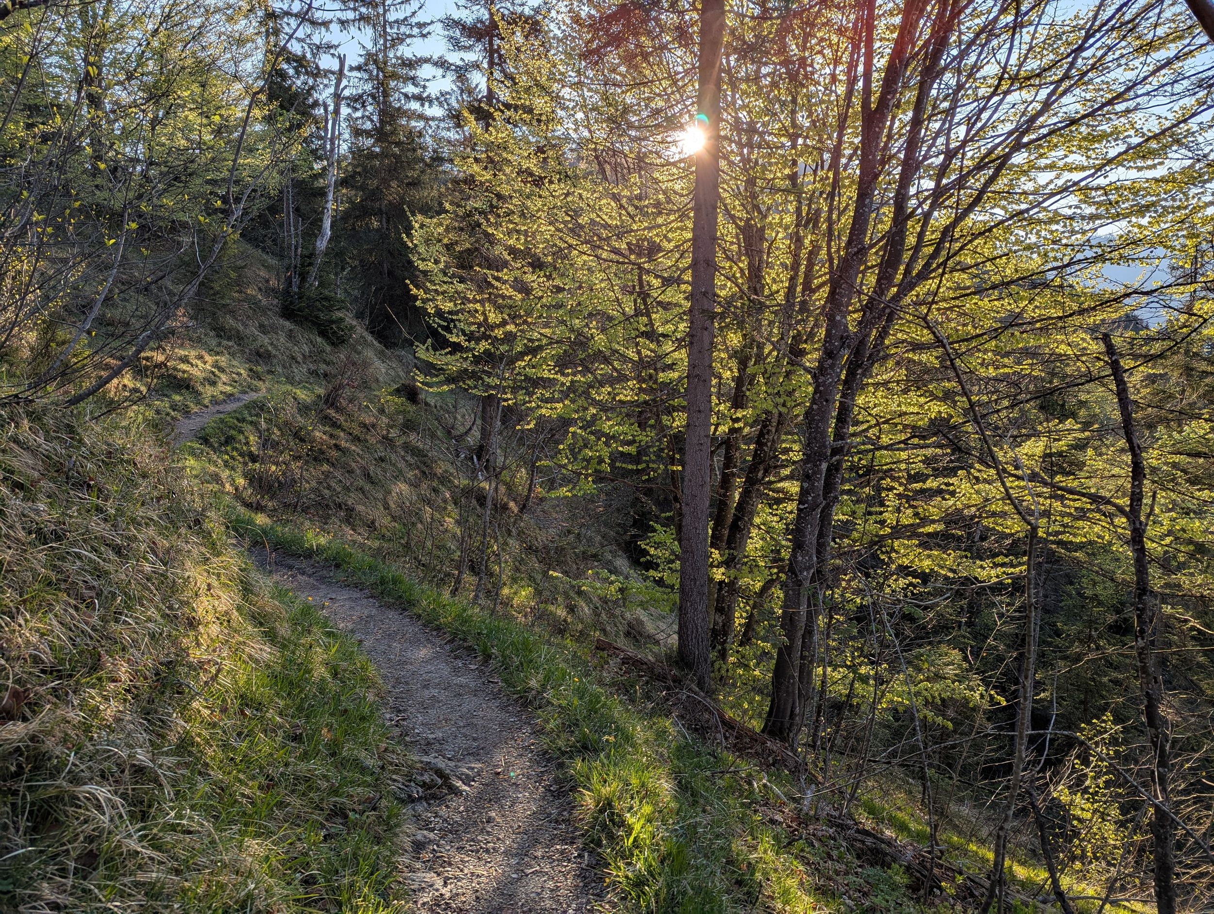
Premium hiking trail - Chiemseeblick alpin
hiking tour- Starting point Festsaal
- Location Reit im Winkl
- distance 12.4 kilometres
- duration 06:00 hours
- maximum altitude 1258 meters
- minimum altitude 681 meters
- altitude difference 820 ascending
- altitude difference 820 descending
Tour description:
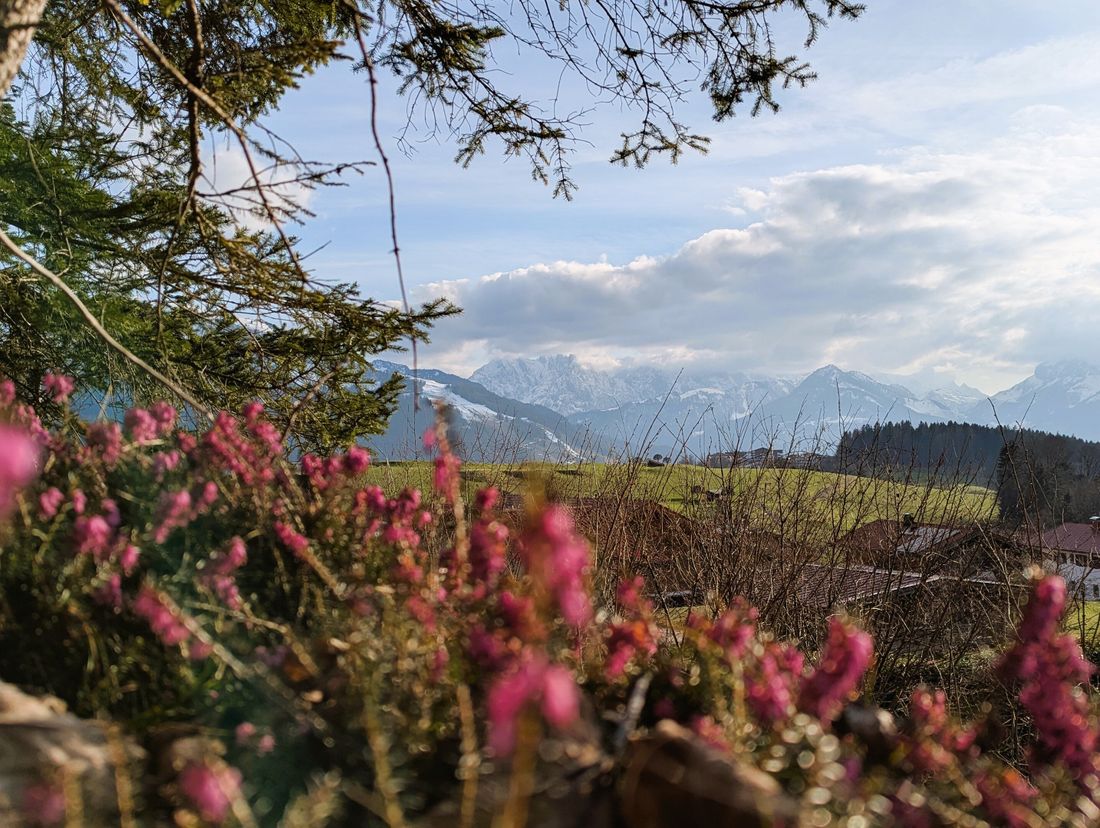
Directions: The Festsaal Reit im Winkl (685m) is the starting point of this wonderful but also strenuous hike up to the Stoibenmöseralm (1,258m). Walking towards the center, the first destination of the tour is the Protestant Church (725m). At the beautiful church, as well as at the viewing platform above the little mountain church, there is a picturesque view of the town center and the Kaiser Mountains.
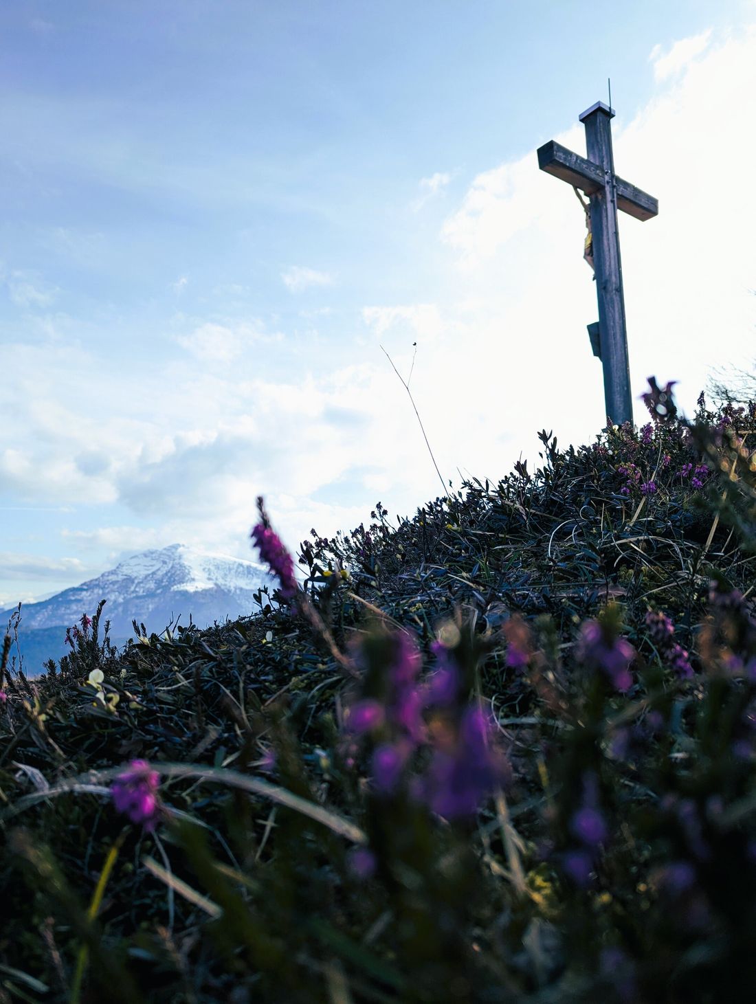
25 meters below the viewing platform, a narrow path branches off to the left in the direction of Birnbach. The forest path takes you gently uphill for 20 minutes to a small wooden footbridge. Behind it begins the steep but beautiful path up to the Wetterkreuz mountain, which becomes flatter again 100 meters below the summit. After about 90 minutes of walking, the first highlight of this tour, the summit of the Wetterkreuz (1064m), is reached. The Wetterkreuz is the showcase summit in Reit im Winkl, the view down into the town center towards the Kaiser Mountains and the Hohe Tauern range is something very special.
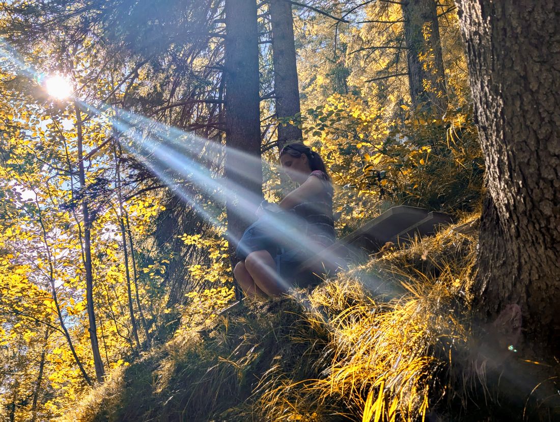
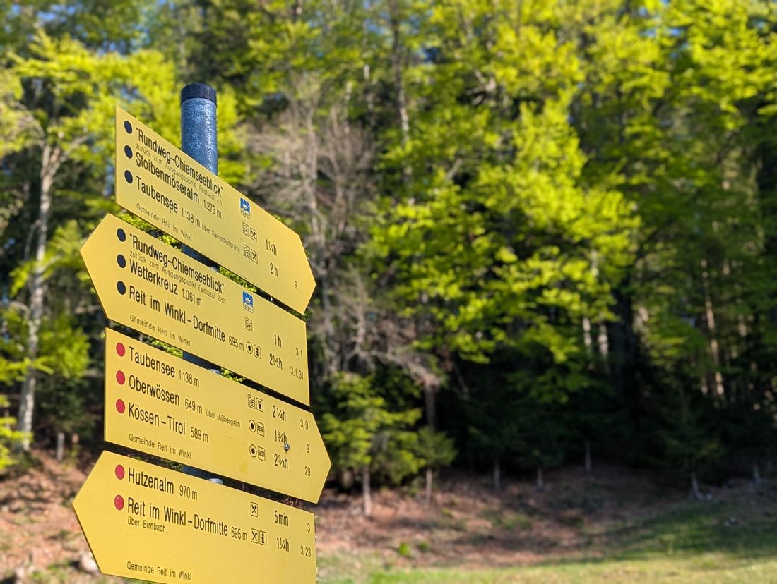
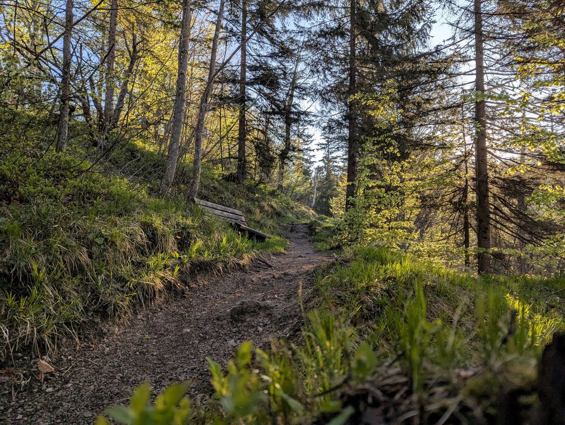
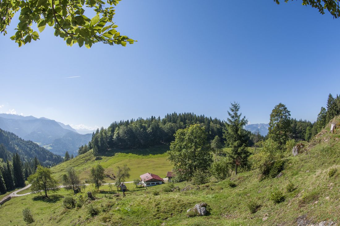
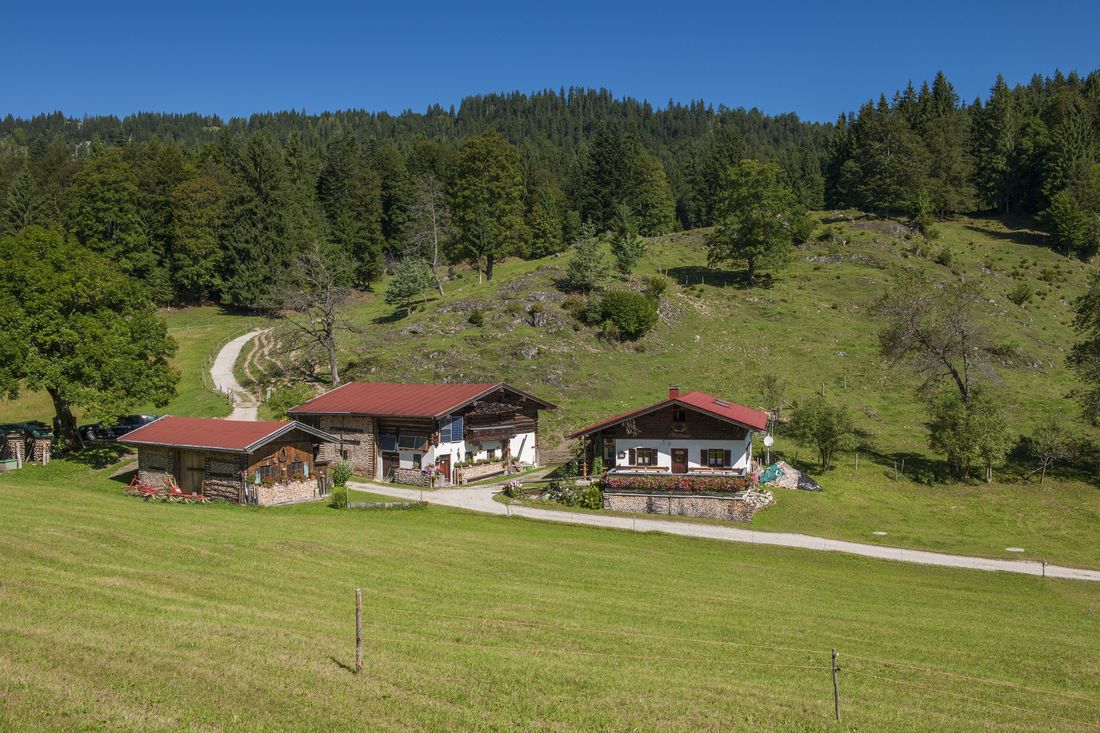
Below the steps that lead up to the summit cross, the path leads in the direction of the Hutzenalm hut (986m). It goes flat on a path through the forest and after a wooden footbridge downhill to the left before you reach the alpine pasture area of the Hutzenalm. Then it goes uphill in the direction of the Stoibenmöseralm. After 900 meters on the forest road, a meadow path branches off to the left. The path leads up over stones, roots and alpine pastures. Sometimes a little steeper, sometimes a little flatter, you then hike up between mighty trees. The centuries-old trees are a botanical highlight, with some of the region's oldest trees lining the trail.
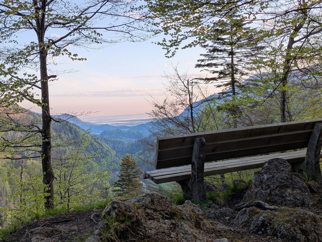
Shortly before reaching the Stoibenmöseralm pasture area, it gets really steep again. A narrow tree staircase leads the last few meters out of the forest up to the open space. A few meters behind is the Stoibenmöseralm hut (1260m), which is managed in summer. At the hut you can enjoy Bavarian delicacies and refreshing drinks with a view of Lake Chiemsee.
Whether before or after the stop, it is advisable to continue hiking in the direction of Lake Taubensee to the Sonnwendköpfl (1278m, 20 minutes one way). This vantage point, where church services are sometimes celebrated, is a very special place. If the visibility is good, a view opens up to Austria's highest mountain, the Großglockner. Kaisergebirge, Unterberghorn, Eggenalm, Sonntagshorn, the view from the Sonnwendköpfl is without exaggeration simply breathtaking.
If you still have enough energy reserves, you can circle Lake Taubensee (1141m) in about 1.5 hours. Along the lake, the path leads in an arc from the west to the east shore. The climb up to Taubenseeblick view point completes the circular route around Lake Taubensee.
Starting at the Stoibenmöseralm, the premium hiking trail Alpin Chiemseeblick follows the normal route down in the direction of Birnbach. The path crosses the pasture area on a narrow forest path for 500 meters in an easterly direction. The view of Lake Chiemsee, the Hochgern summit and the Bavarian Pre-Alps becomes even more beautiful with every step before you continue downhill in the forest. Passing the alpine pastures of the lower Stoibenalm, you get back to the alpine pastures of the Hutzenalm in 45 minutes.
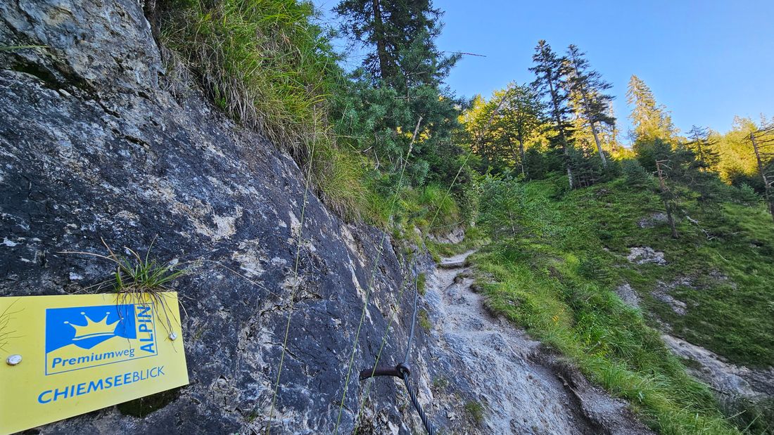
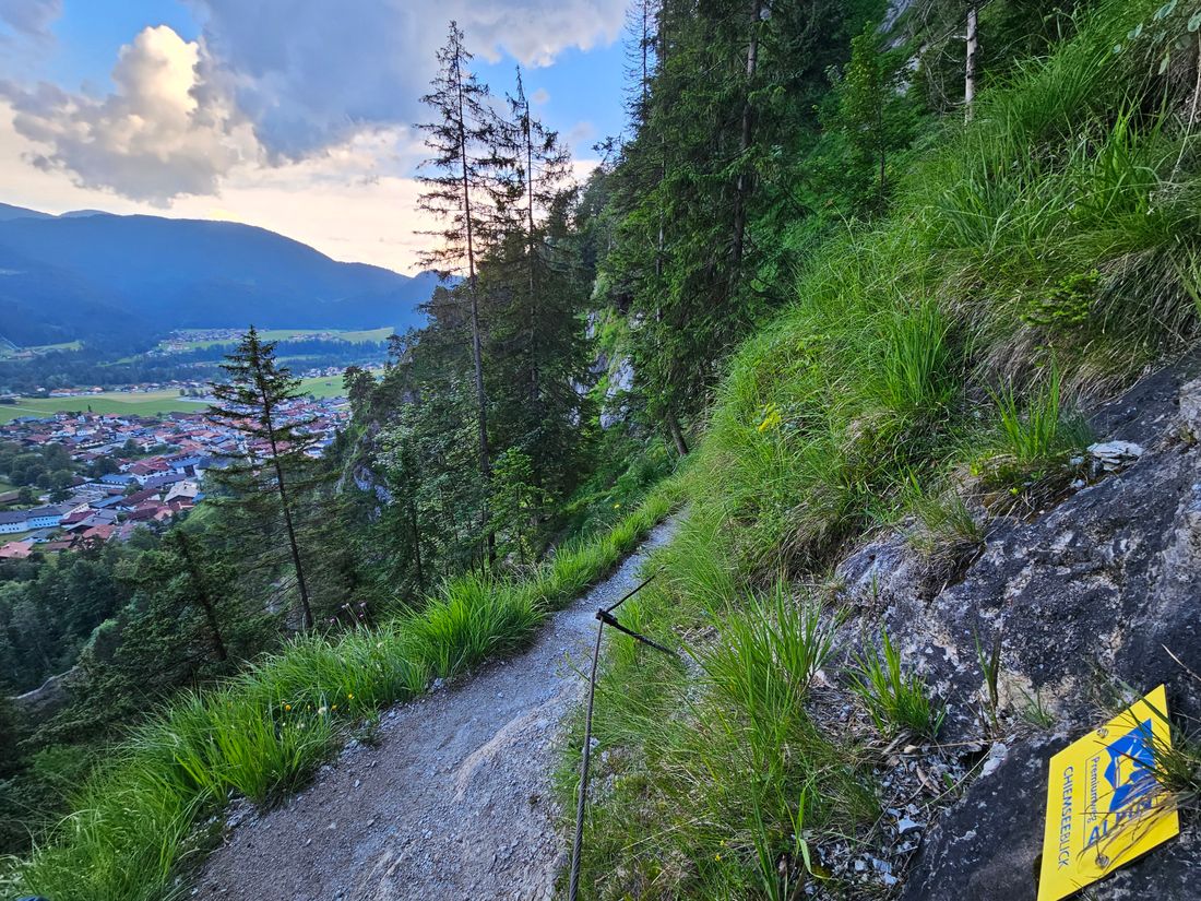
Above the alpine meadows, a forest path branches off to the left on a narrow path in the direction of Wetterkreuz. After another 15 minutes, this path leads to a forest road that leads to the Glapfalm and further in the direction of the Hausbachfallsteig trail. With a spectacular view of the picturesque mountain village and the via ferrata on the opposite side of the trail, the goal, the Kriegerkapelle Chapel Reit im Winkl (742m), is not far. At the barefoot park below the chapel you can relax your tired legs and refresh yourself in the Kneipp basin before the center of Reit im Winkl invites you to stop for snacks and drinks.
Refreshment stops: Hutzenalm, Stoibenmöseralm
Recommended months for this tour
- January
- February
- March
- April
- May
- June
- July
- August
- September
- October
- November
- December
Tips for this tour
A detour to Lake Taubensee, called "The eye of the Chiemgau".
Downloads
- Tour as a PDF file (PDF)
- Tour as a GPX file (GPX)
- Tour as a KML file (KML)
Arrival by car
Coming from Munich or Salzburg on the Munich - Salzburg motorway (A8 to Grabenstätt exit no. 109), continue in the direction of Marquartstein and on the well-developed German Alpine Road (B 305) to Reit im Winkl. Parking spaces: -Dorfstr. 38 at the Tourist - Info, 83242 Reit im Winkl, -Tirolerstraße 37 am Festsaal, 83242 Reit im Winkl.
Coming from Munich or Innsbruck on the Rosenheim - Innsbruck motorway (A93) to Oberaudorf (exit 59). On to Walchsee, Kössen and Reit im Winkl. Parking spaces: -Tirolerstraße 37 am Festsaal, 83242 Reit im Winkl, -Tourist - Info Dorfstraße 38, 83242 Reit im Winkl.
Arrival by public transport
Connections to Reit im Winkl from Prien am Chimesee train station (best bus connection!). With the RVO bus, line 9505.
Bus stop directly at the tourist information office.
Connections to Reit im Winkl from Ruhpolding train station with the RVO line 9506. Bus stop directly at the tourist information office.
