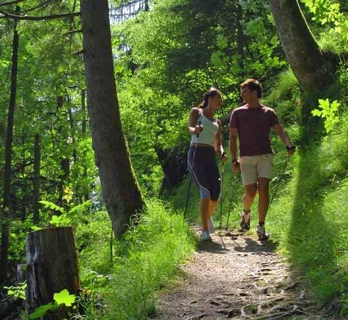
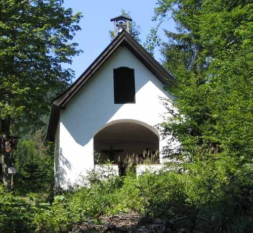
A difficult nordic walking tour, long with steep inclines
Hausberg-Weitsee-Trail
tour- Starting point Festsaal
- Location Reit im Winkl
- distance 17.9 kilometres
- duration 04:00 hours
- maximum altitude 915 meters
- minimum altitude 678 meters
- altitude difference 464 ascending
- altitude difference 392 descending
Tour description:
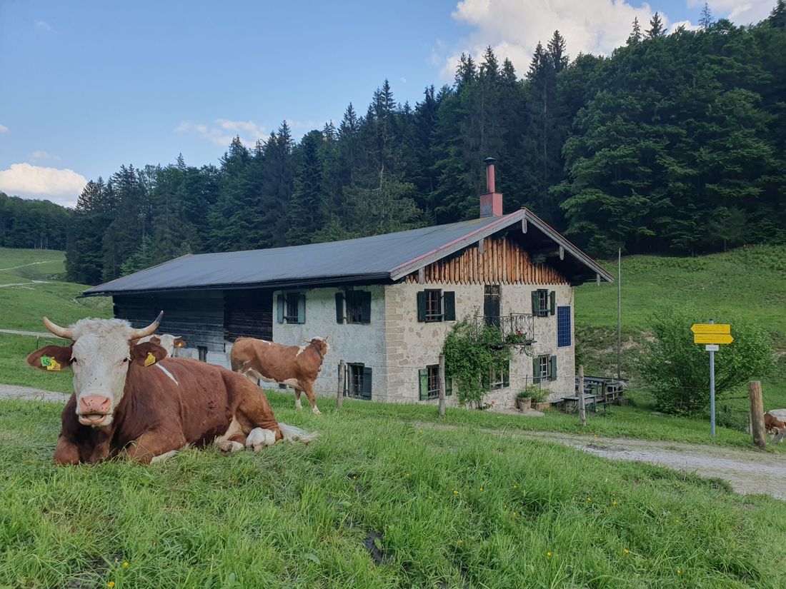
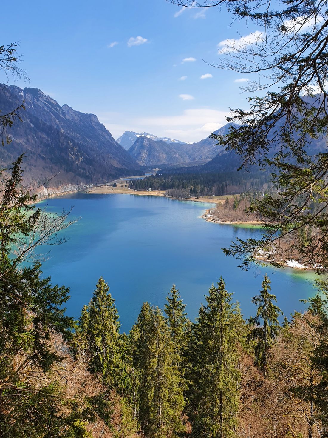
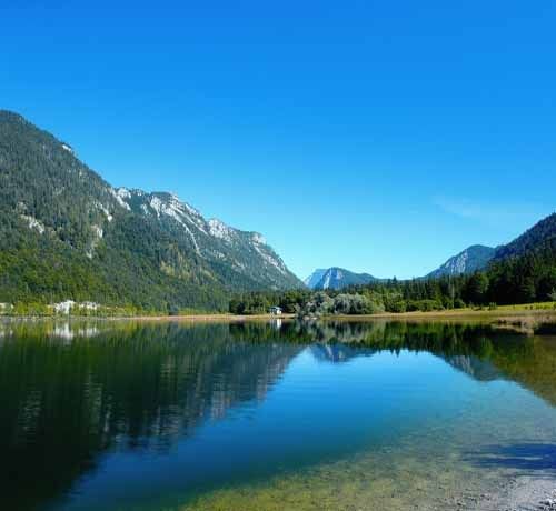
Climb to Jedererstrasse. continue to Entfeldmühle via Jochbergalmen to Weitsee, on the hiking trail along the B 305 to Seegattlerl. Continue on the cycle path to Reit im Winkl - over the Liebertinger Bridge to the Waldbahnsiedlung. Follow the hiking trail to the Wimmerkreuz (glacial cart field) to the Schuhaus Trattler, from there to the sports field and back to the starting point.
Refreshment options: town center, Entfelden
Equipment: sturdy shoes, walking sticks, drinks, small snack for on the go
Recommended months for this tour
- January
- February
- March
- April
- May
- June
- July
- August
- September
- October
- November
- December
Downloads
- Tour as a PDF file (PDF)
- Tour as a KML file (KML)
- Tour as a GPX file (GPX)
Arrival by car
From the direction of Munich or Salzburg on the federal motorway Munich - Salzburg (A8 to Grabenstätt exit no. 109), continue towards Marquartstein and on the well-developed German Alpenstrasse (B 305) to Reit im Winkl. Parking spaces: -Tourist - Info, Dorfstrasse 38, 83242 Reit im Winkl. -Tirolerstrasse 37 am Festsaal, 83242 Reit im Winkl.
From the direction of Munich or Innsbruck on the Rosenheim - Innsbruck federal motorway (A93) to Oberaudorf (exit no. 59). Continue to Walchsee, Kössen and Reit im Winkl. Parking spaces: -Tirolerstrasse 37 am Festsaal, 83242 Reit im Winkl, -Tourist - Info Dorfstrasse 38, 83242 Reit im Winkl.
Arrival by public transport
Connections to Reit im Winkl from Prien am Chiemsee train station (best bus connection!) with the RVO bus line 9505.
All timetables: www.reitimwinkl.de. Stop directly at the tourist information office or at the Festsaal
Connections to Reit im Winkl from Ruhpolding train station with the RVO - line 9506. Stop directly at the tourist information center or at the Festsaal.
