Mountain round trip - Ettenhausen, parking lot-Geigelstein - Wuhrstein-Alm - Geigelstein summit (1808 m) - Haidenholz-Alm - Ettenhausen.
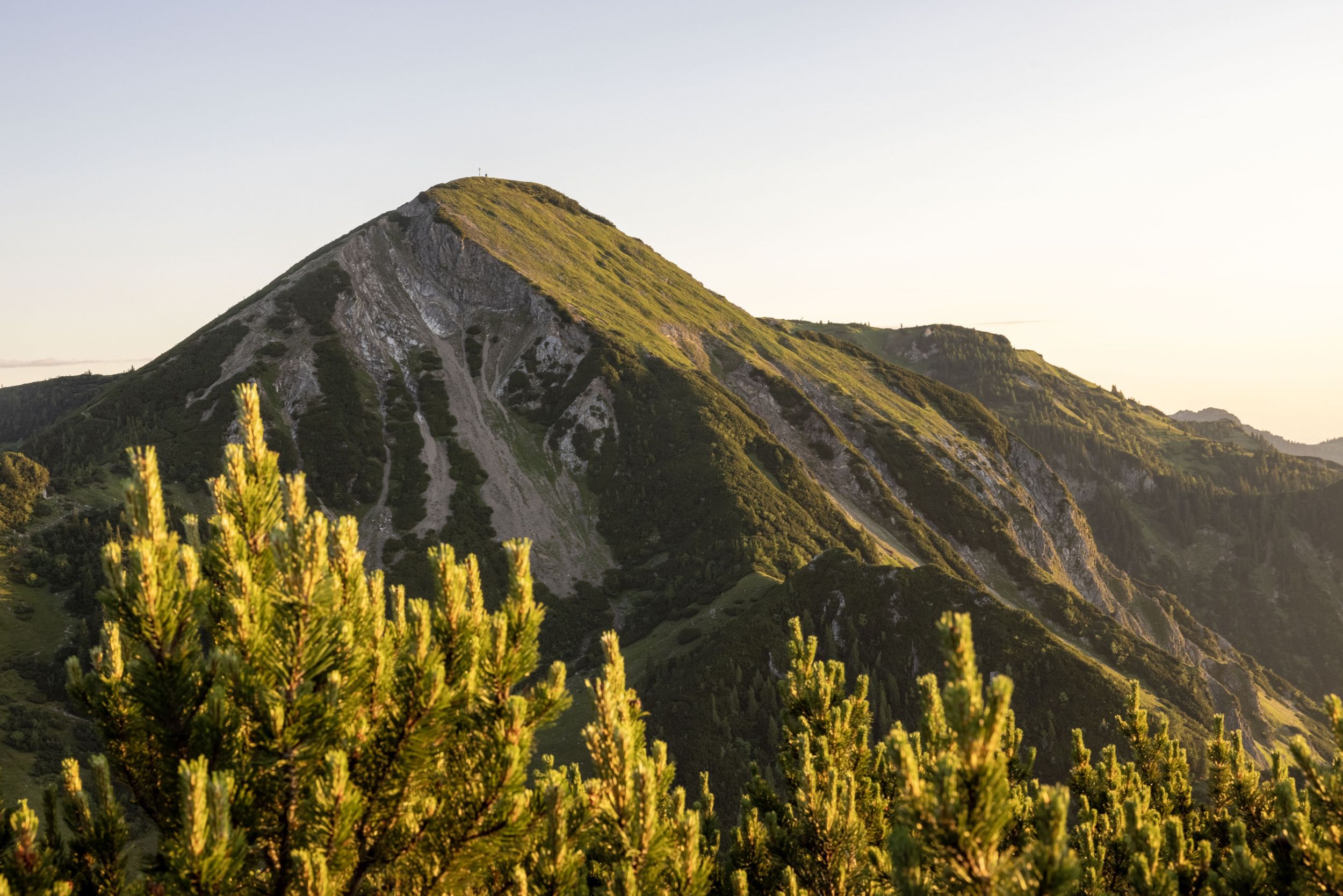
Geigelstein - summit hike
hiking tour- Starting point Ettenhausen, Geigelstein car park
- Location Schleching
- distance 15.0 kilometres
- duration 06:45 hours
- maximum altitude 1808 meters
- minimum altitude 640 meters
- altitude difference 1206 ascending
- altitude difference 1206 descending
Tour description:
Refreshments : Priener Hütte, Roß-Alm (*), Haidenholz-Alm
(*) typical alpine snack during the alpine pasture season.
Achental hiking pin checkpoints : Wuhrstein-Alm, Geigelstein, Haidenholz-Alm, Blasi-Alm Special features: Diverse flora and fauna (Geigelstein nature reserve), Roß-Alm, one of the highest alpine pastures in Germany Geigelstein - second highest mountain in Chiemgau
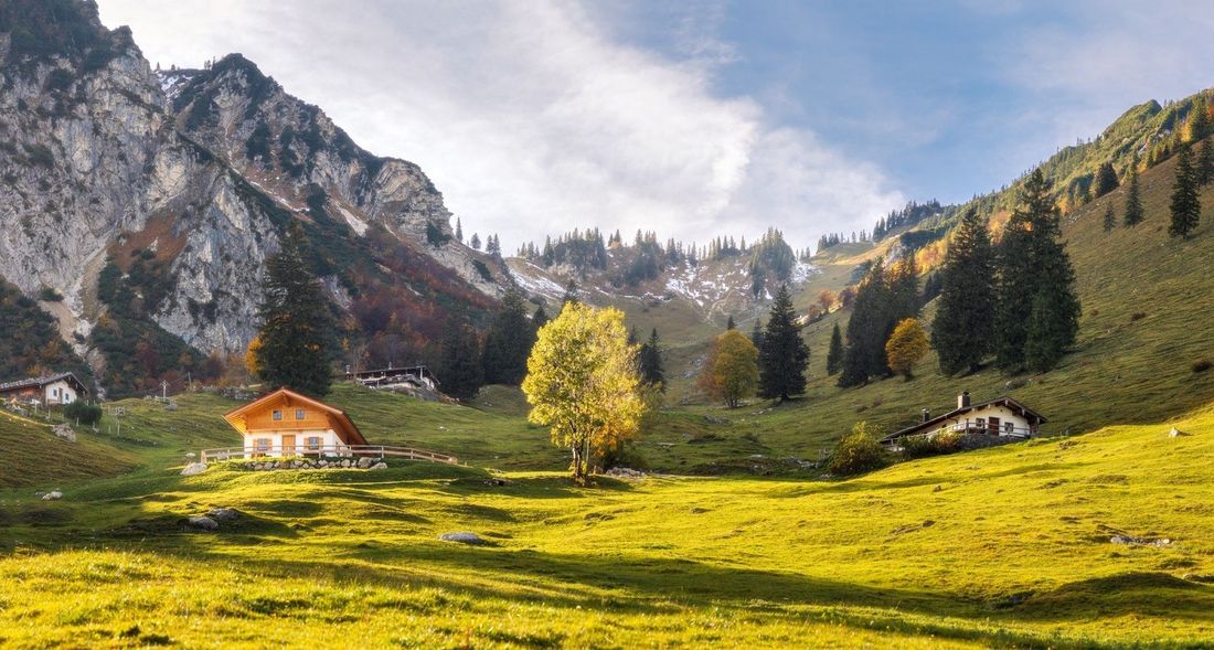
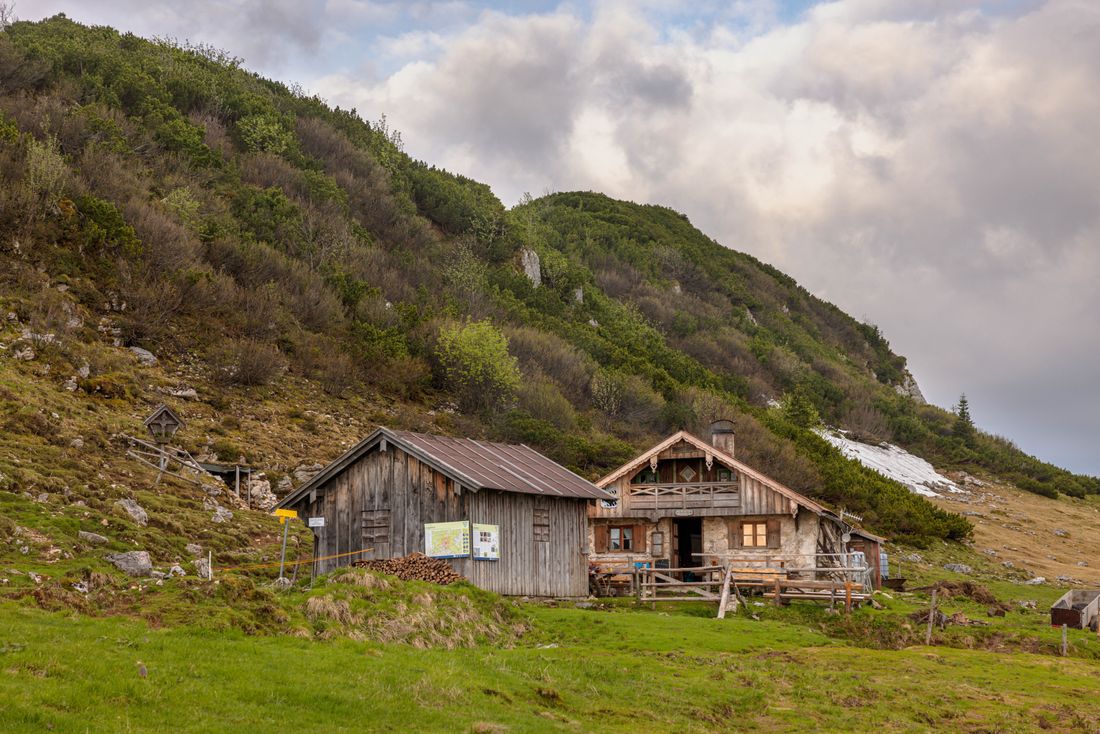
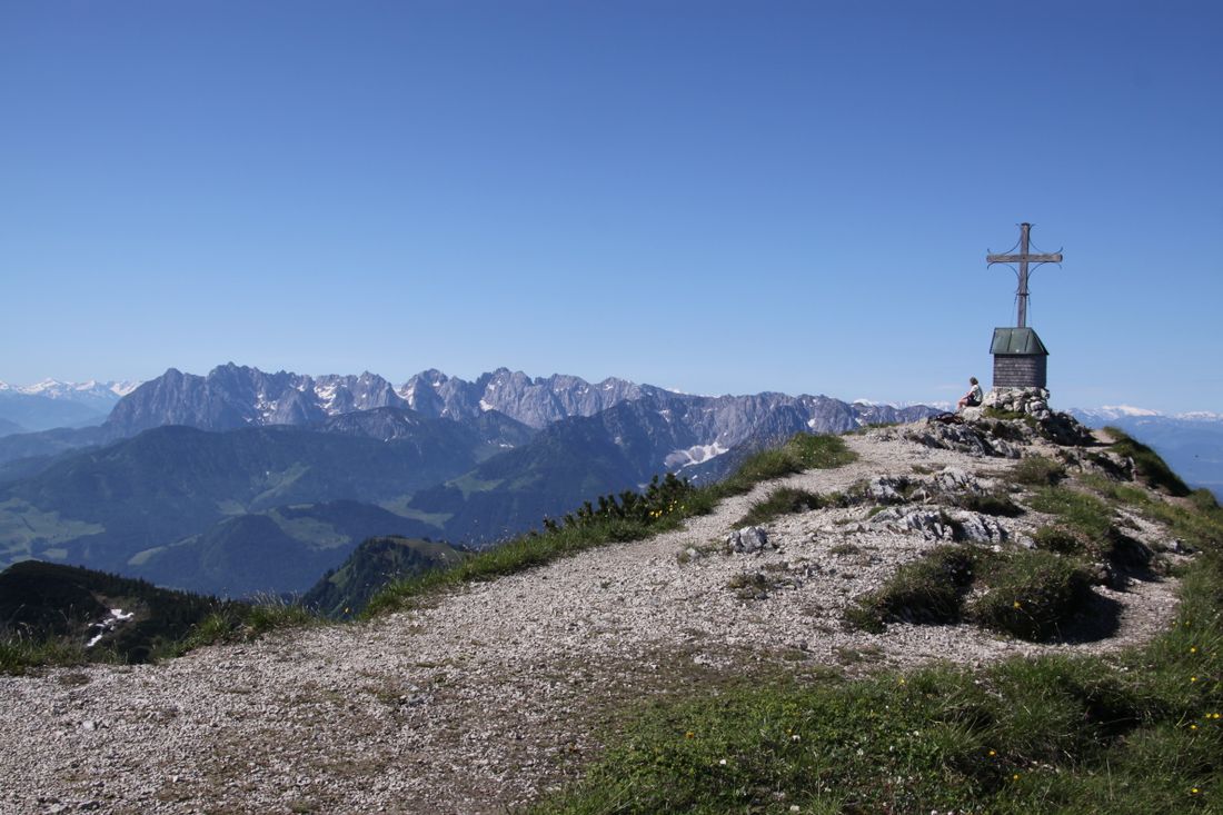
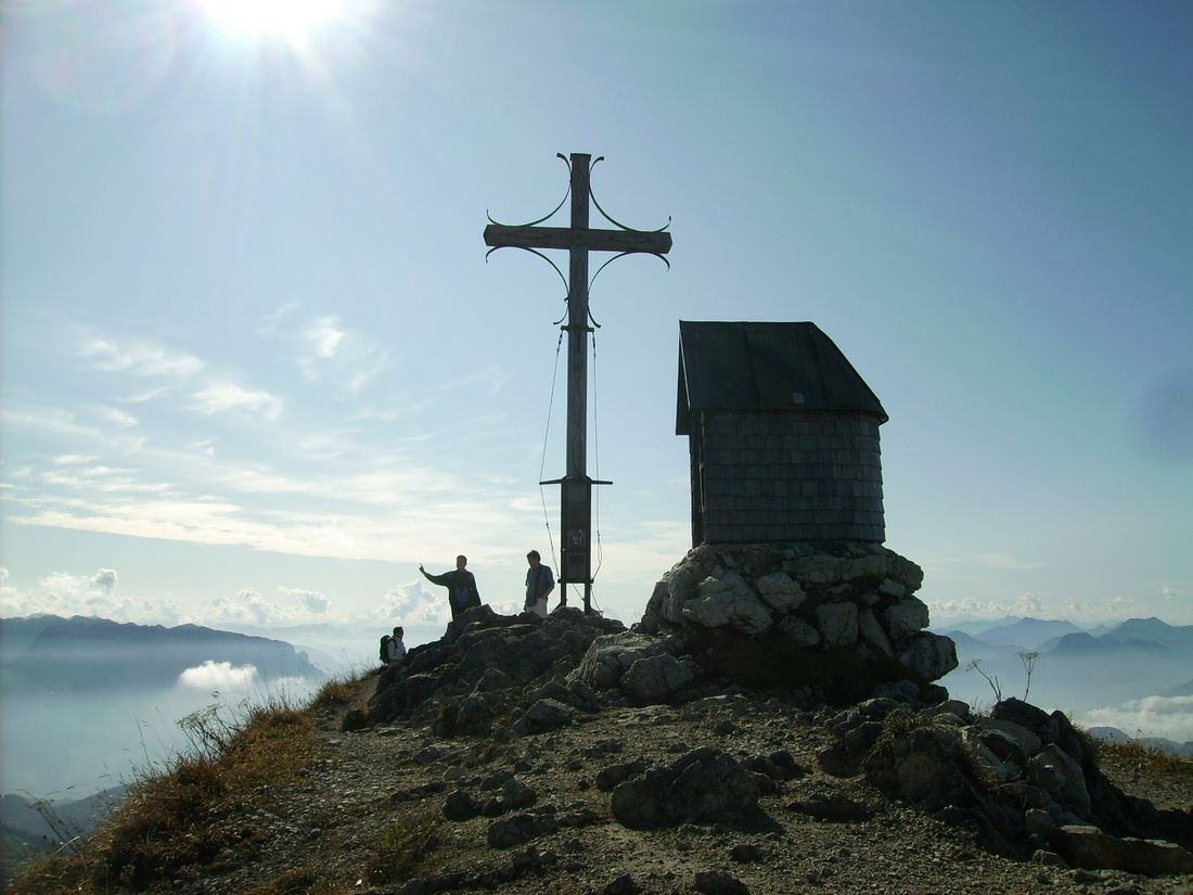
Description : From the Geigelstein car park in Ettenhausen, a forest path leads to the Wuhrstein-Alm mountain inn (1 1/4 hours) and on through the beautiful Wuhrstein-Alm area in large serpentines to the Wirts-Alm (1,421 m - 2 hours). The forest road ends here and a path (turn off to the right after 100m) always leads in the direction of Geigelstein to a saddle. From here it goes through the mountain pine-covered southern slope of the Geigelstein in serpentines to the summit (3 1/2 hours + breaks). The panoramic view from the summit is tremendous, the rest on the summit is a pleasure. The descent goes in a northerly direction to the Geigelsteinsattel and over an alpine plateau to the 1,700 m high Roß-Alm. Alternatively, you can descend from the Geigelsteinsattel to the Priener Hütte and return via the Karlscharte. From the Roß-Alm the path goes downhill to the Haidenholz-Alm. Even within the mountain pines, a path branches off to the Weitlahnerkopf (short detour possible). From the Haidenholz-Alm you can always take the forest road towards Ettenhausen to the starting point, or you can take a path that branches off to the left about 800 m below towards Schleching. With this variant you have two options to get into the valley, because the path branches off at the Achental hiking pin control point Blasi-Alm. The path on the right leads back over a forest road to the Geigelstein car park. Straight on in the direction of Schleching, you reach the valley west above Schleching and can turn right back to the starting point.
Recommended months for this tour
- January
- February
- March
- April
- May
- June
- July
- August
- September
- October
- November
- December
Downloads
- Tour as a PDF file (PDF)
- Tour as a KML file (KML)
- Tour as a GPX file (GPX)
Responsible for the content: Achental Tourismus gKU
