Shady, easy path from Ettenhausen to Kössen
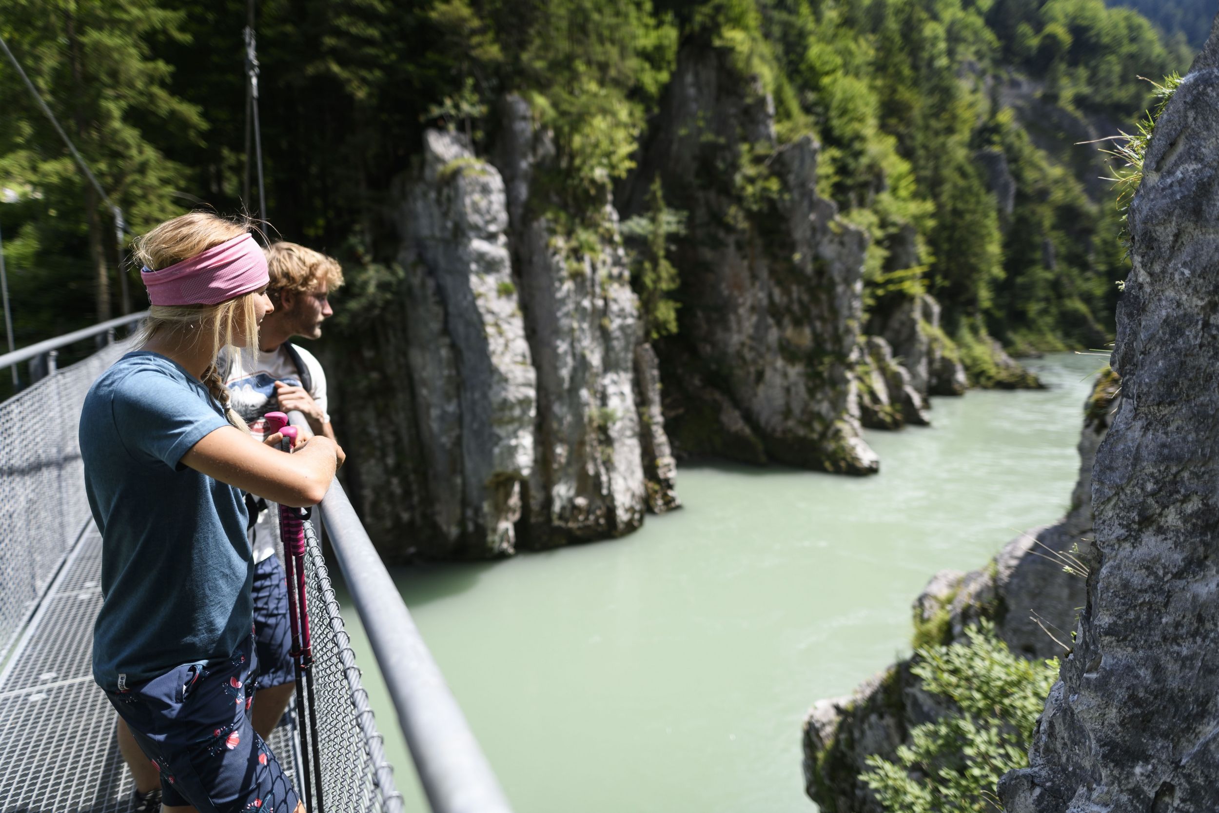
Schmugglerweg to Kössen
hiking tour- Starting point Geigelstein car park, Ettenhausen
- Location Schleching
- distance 6.3 kilometres
- duration 02:00 hours
- maximum altitude 681 meters
- minimum altitude 584 meters
- altitude difference 272 ascending
- altitude difference 312 descending
intermediate
difficulty
Tour description:
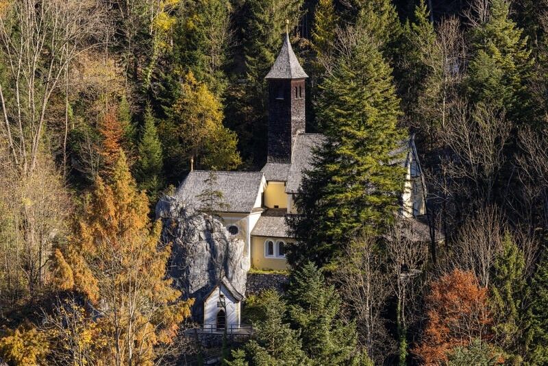
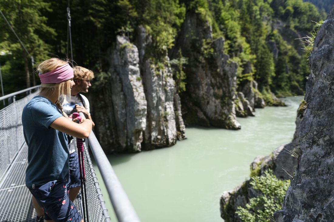
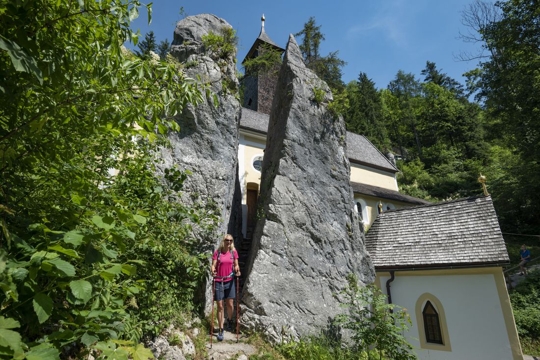
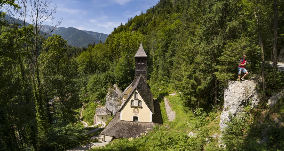
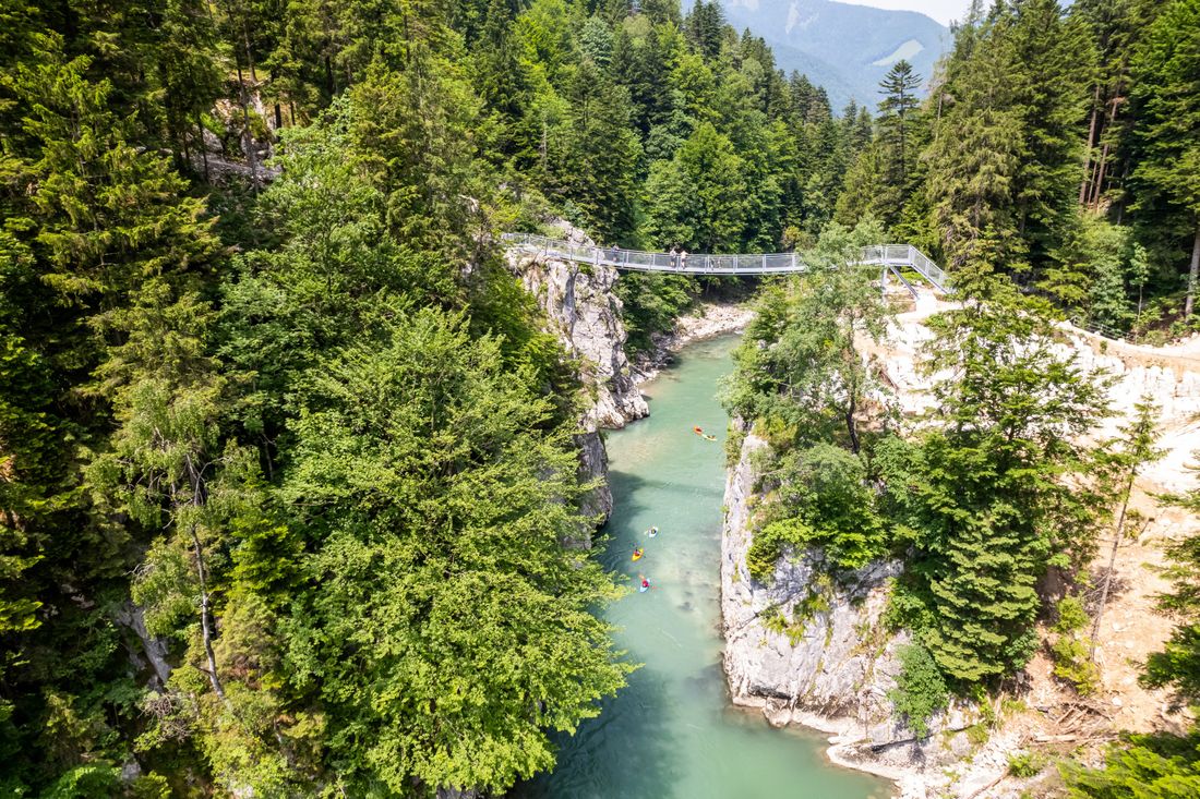
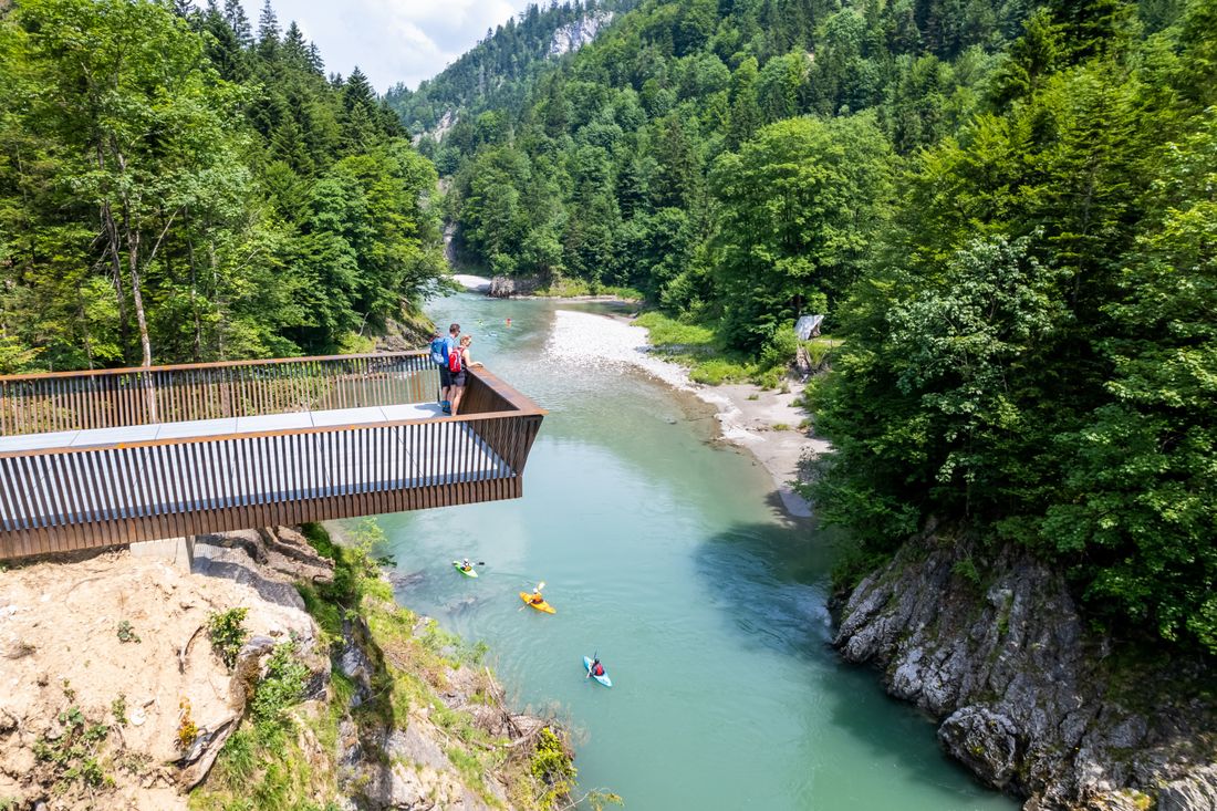
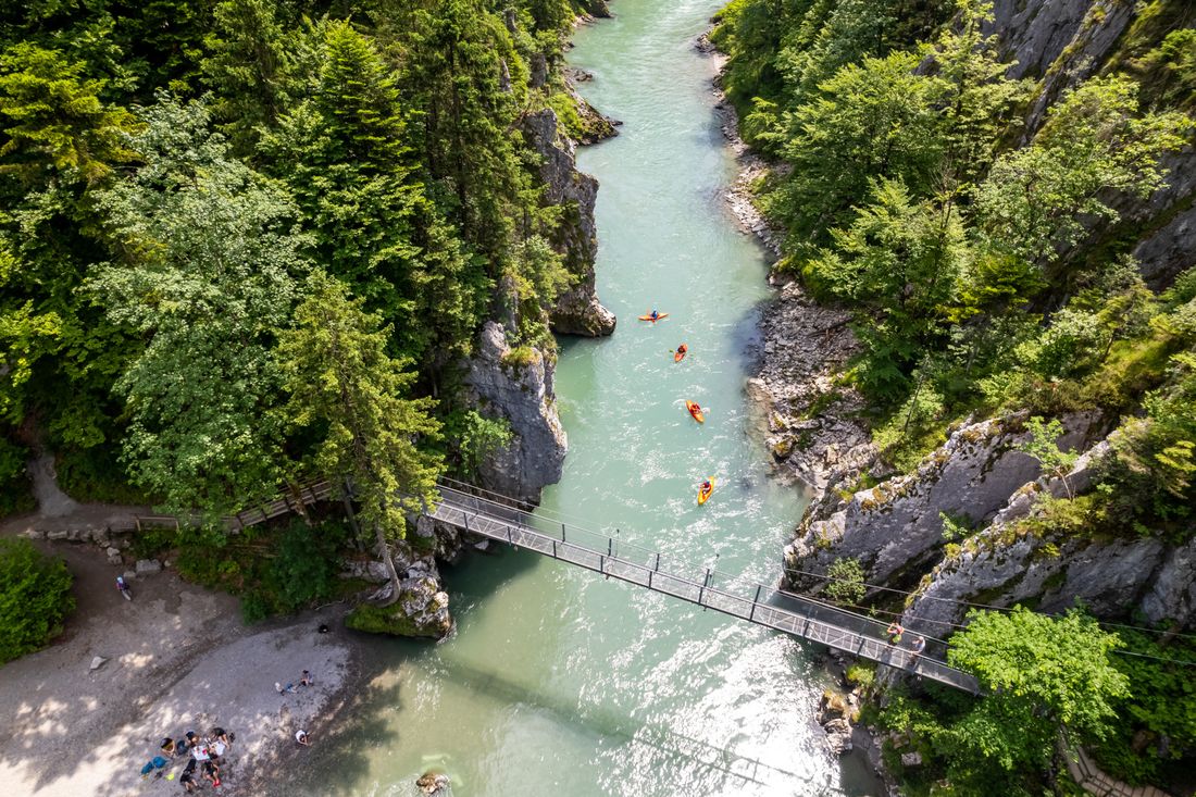
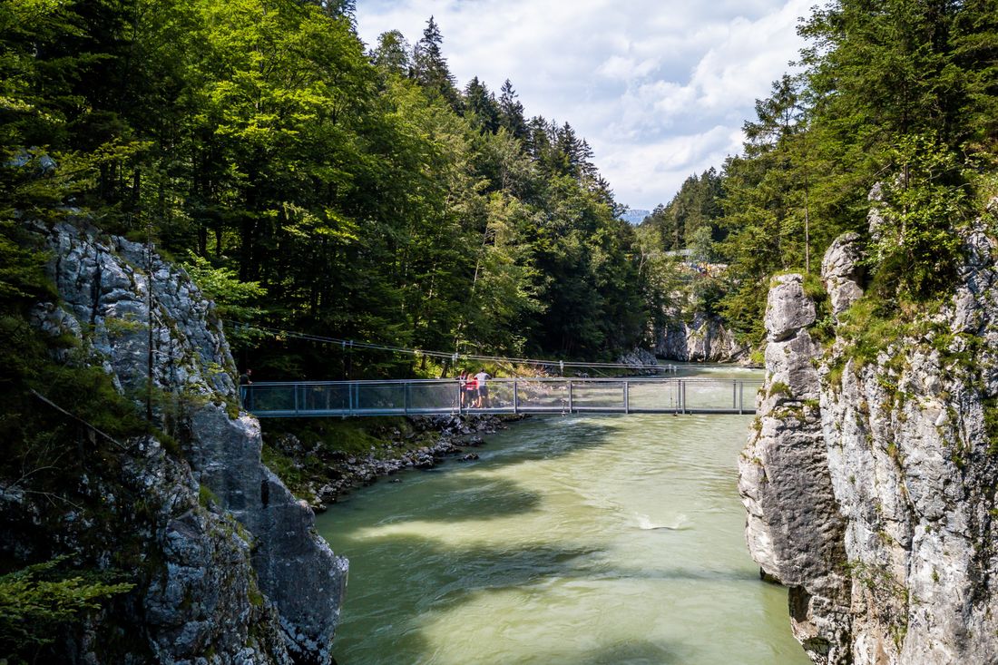
Valley path. Refreshment stop: Gasthaus Klobenstein. Achental hiking nobility Checkpoints: Smugglers' trail. Description: From the Geigelstein car park in Ettenhausen, or directly at the chapel in Ettenhausen, follow a wide forest path in the direction of Klobenstein past the Ruderburger See (detour). From the former border, a path leads uphill and downhill again to the Klobenstein junction. Here you can make a detour over the suspension bridge to the Klobenstein inn and church, or continue straight on to Kössen as planned.
Recommended months for this tour
- January
- February
- March
- April
- May
- June
- July
- August
- September
- October
- November
- December
Downloads
- Tour as a PDF file (PDF)
- Tour as a KML file (KML)
- Tour as a GPX file (GPX)
Responsible for the content: Achental Tourismus gKU

