Hochgern summit hike via Jochbergalmen, back via Agergschwend-Alm. Long round trip for which you need good fitness, but which is rewarded with magnificent views.
Hochgern summit hike via Jochbergalm
hiking tour- Starting point Hochgern hiking car park
- Location Unterwössen
- distance 16.5 kilometres
- duration 08:35 hours
- maximum altitude 1744 meters
- minimum altitude 619 meters
- altitude difference 1251 ascending
- altitude difference 1251 descending
Tour description:
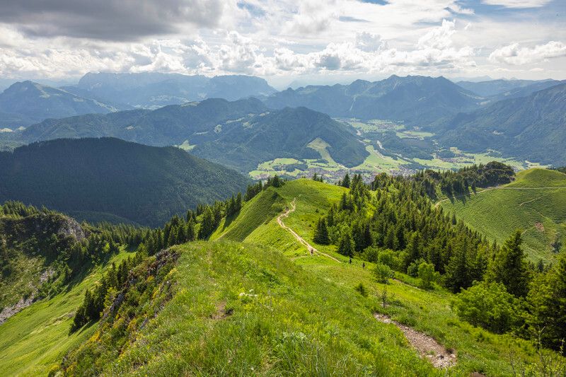
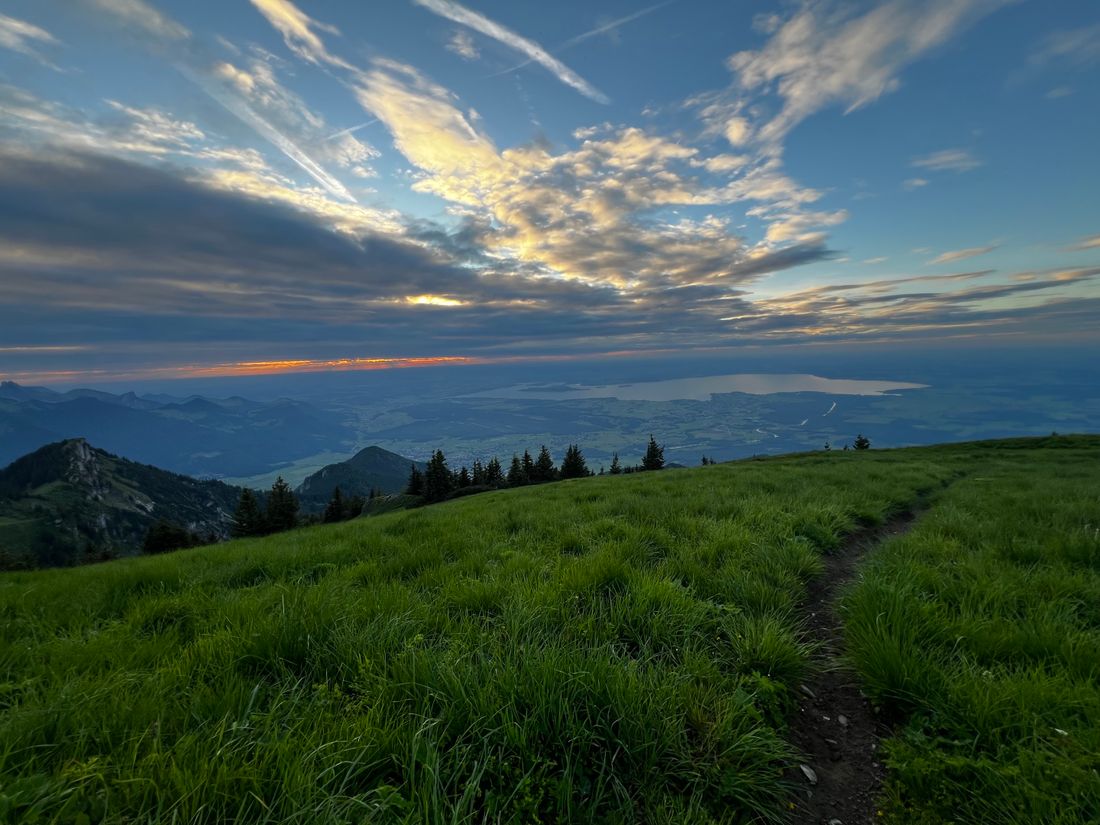
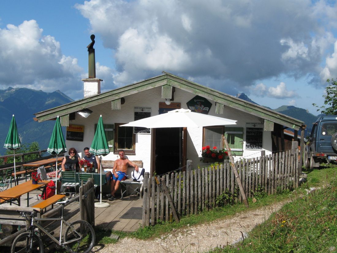
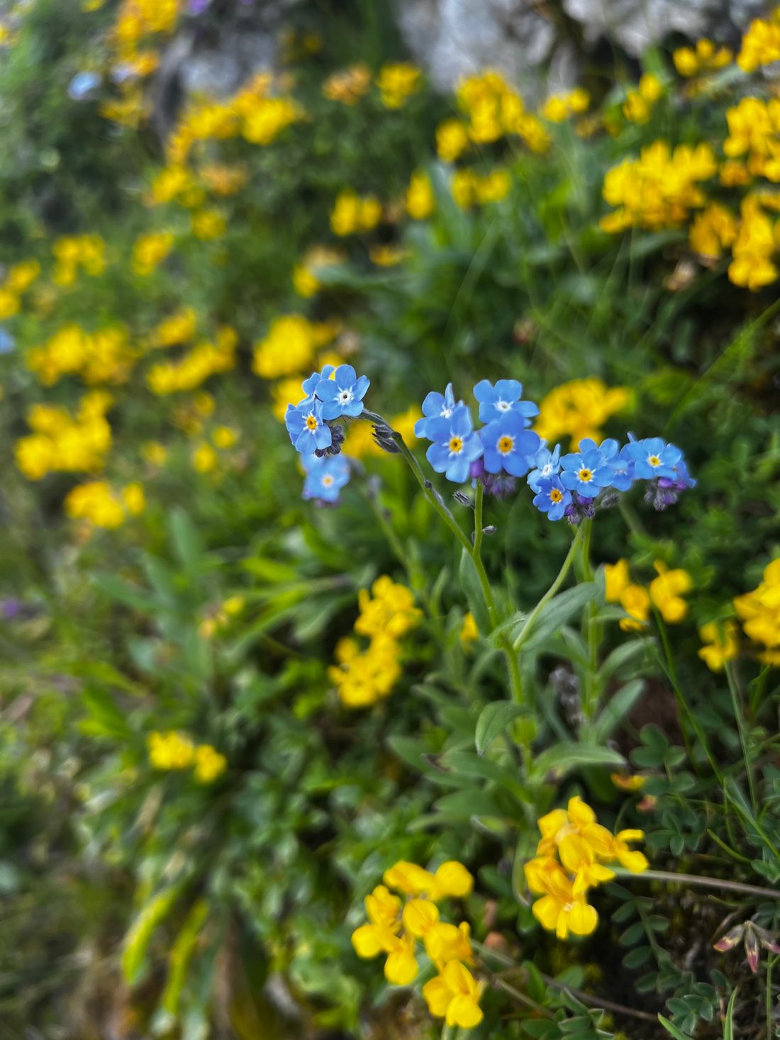
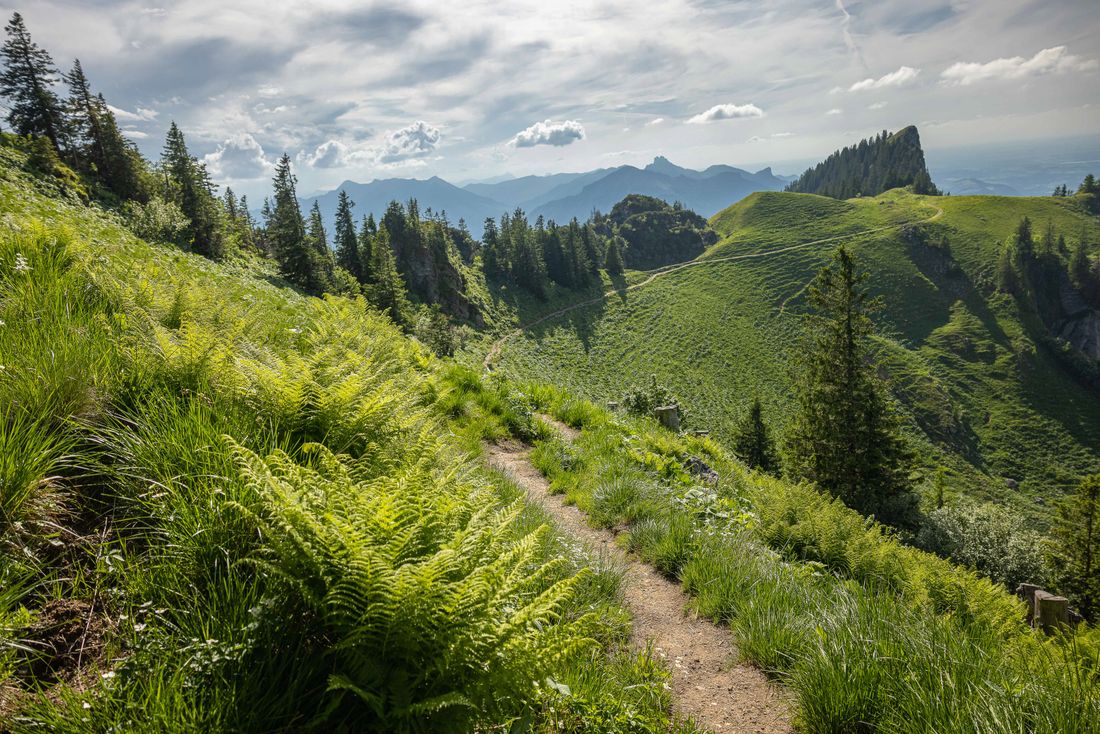
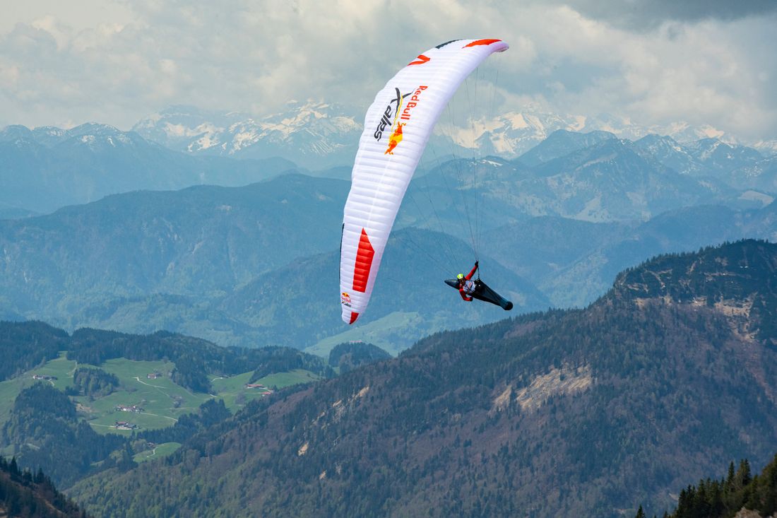
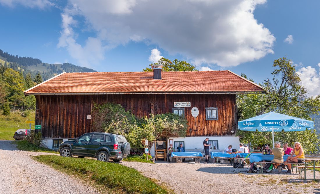
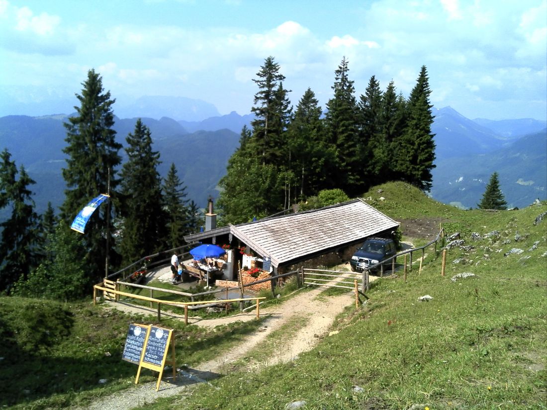
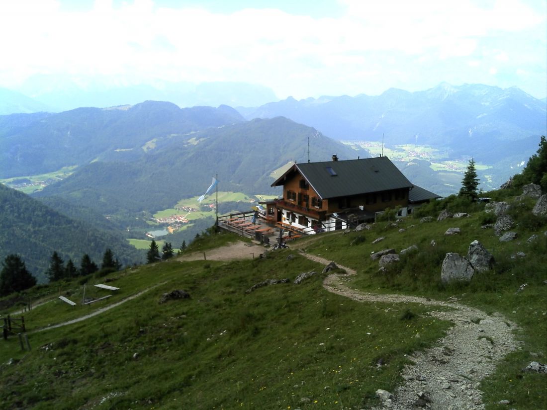
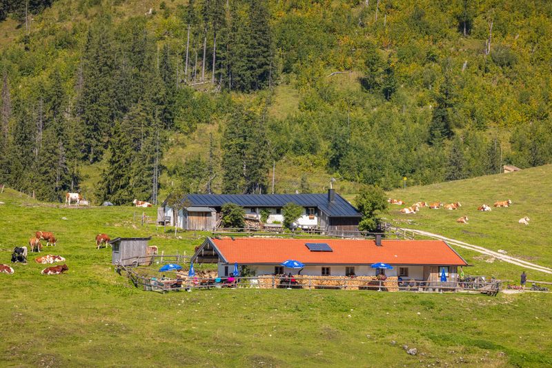
Hochgern hiking car park - Jochbergalm - Hochsattel - Grundbachalm - Hochgerngipfel - Hochgernhaus - Enzianhütte - Agergschwendalm - Hochgern hiking car park. For this summit hike to Hochgern via the Jochbergalmen and back via the Agergschwendalm you need good fitness. You will be rewarded with wonderful views, from the Kaiser Mountains to Lake Chiemsee. We start at the Hochgern hiking car park in Unterwössen and walk on path no. 52 through the Kaltenbachtal to the first intermediate destination, the Jochbergalem. The path becomes more and more of a path as it progresses and leads mostly in the shade along the Kaltenbach and then across the alpine meadows to the alpine huts. We continue leisurely uphill through flowering alpine meadows and over the Hochsattel. You will soon have a view of the Hochgern summit from the south. After an easy descent to the quietly located Grundbachalm, a narrow, steep serpentine path leads us to the 1,744m high Hochgern summit. There we enjoy the view of the Alps, the Achental and the Chiemsee, before we follow increasingly wide paths over the Hochgernhaus Enzianhütte and the Agergschwendalm go back into the valley to the hiking car park. Refreshments: Agergschwendalm, Enzianhütte, Hochgernhaus, Jochbergalmen (please note the opening times). Tip: You can watch paragliders take off and fly from the Hochgern summit.
Recommended months for this tour
- January
- February
- March
- April
- May
- June
- July
- August
- September
- October
- November
- December
Downloads
- Tour as a PDF file (PDF)
- Tour as a GPX file (GPX)
- Tour as a KML file (KML)
Responsible for the content: Achental Tourismus gKU
